We are pleased to share that an Expert Panel has made a final decision to grant approvals for the Waihi North Project.
This project displays OceanaGold’s ability to continue to support economic growth, create high-paying jobs, generate royalties, support communities, and boost exports at the same time as making a positive contribution to the environment.
OceanaGold will now commence the next phase of the Waihi North Project. Several conditions are attached to the project, most of which align with our current operating practices. Our immediate priority is finalising Management Plans that outline how we will meet these conditions. At the same time, we will continue work on the services trench to allow water to be moved between the Willows Road site and our existing Water Treatment Plant which will be upgraded. Construction will also begin on a surface infrastructure area on the farm on Willows Road to support the future commencement of tunnelling works.
The final decision and related conditions and technical documents can be viewed here: Fast-track
Acoustic Imaging Survey – 2026
Looking beneath the surface: Acoustic Imaging Survey Coming to Waihi
OceanaGold Waihi has engaged Fleet Space Technologies to undertake an acoustic imaging survey across the Waihi area, including areas associated with the Waihi North Project. This first-of-its-kind survey for Waihi will help us better understand local geology and support future planning, without the need for digging or drilling.
What is Acoustic Imaging?
A useful way to think about acoustic imaging is as an ultrasound scan for the earth. Instead of using sound waves to look inside the human body, this survey uses controlled vibrations to help us understand what lies beneath the surface.
Controlled vibrations are sent into the ground using a portable electronic vibrator (eVibe). As the vibrations travel through rock layers, small wireless sensors called geophones record the returning signals. This information is then processed to build a detailed picture of the geology beneath the surface.
What can residents expect and when?
Work is scheduled to start in late October. The first thing you may notice is survey crews working around local streets and road reserves. They’ll be marking locations along the survey route using spray paint or biodegradable flagging tape before equipment is installed.
From mid-November, small sensors called geophones will be placed at regular intervals along the survey path. Once these are in place, the eVibe unit will be used along sections of road reserve to create controlled vibrations that help build a picture of the geology beneath the area.
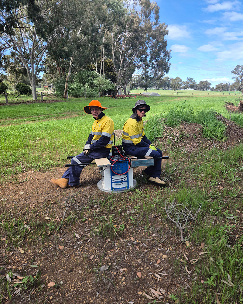
The eVibe unit in operation.
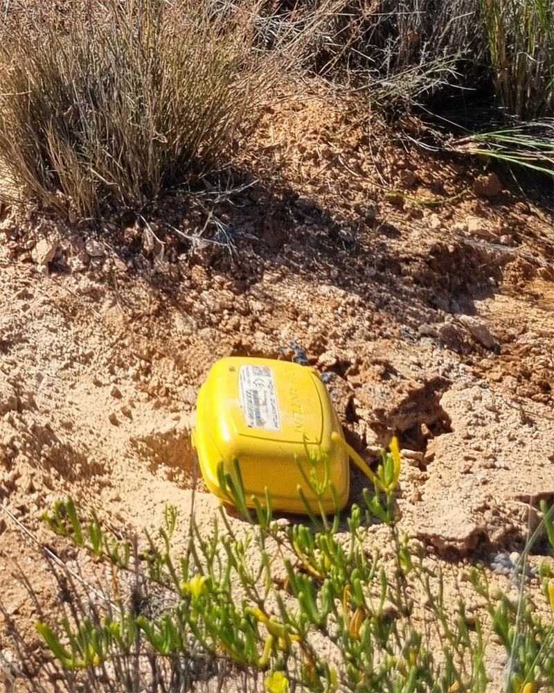
An installed geophone
The survey will move progressively through the area and take about a week to complete, with the overall programme expected to finish by late November, weather dependent.
On company-owned land, such as inside the Martha Pit, a different method will be used, with a weight dropped onto a metal plate to generate the required vibrations.
Traffic management will be in place whenever crews are working in the road reserve to help keep everyone safe.
You may notice surveyors, vehicles, sensors and other equipment around local streets during this time. However, it’s unlikely you’ll hear or feel the survey activity. While we anticipate minimal noise or vibration effects from these works, monitoring will still take place throughout the programme to ensure compliance with all relevant limits.
After the survey
Once the survey is complete, all sensors and equipment will be removed. The information collected will be combined with existing geophysical and drilling data to improve our understanding of local geological, hydrogeological, and geotechnical conditions.
At this stage, the survey is intended solely to improve our understanding of the area beneath Waihi and support future planning and decision-making. The results will not necessarily lead to additional drilling or mine development.